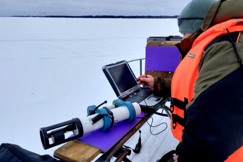
– Last year we took a reconnaissance trip to find a convenient site accessible in winter. We have lots of equipment: we need to pitch a tent on ice and deploy equipment under the ice to continuously record physical processes during two days. We found a suitable location, but arriving there this year, we encountered an unexpected obstacle: where last year the ice was one meter thick, this year there is not ice and the sea is already splashing about. In general too, there is much less ice in this area of the White Sea than there was last year. We had to adjust the work and find another site, – shared the Laboratory Head Aleksey Tolstikov.
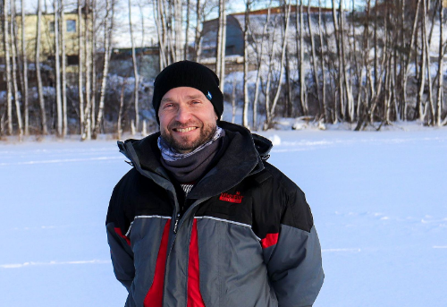
Head of the Geography and Hydrology Laboratory, NWPI KarRC RAS, Aleskey Tolstikov
As the scientist explained, not only the thickness of the ice cover is important in this context. Researchers are looking for a halocline - a zone with a sharp vertical salinity gradient. At a new gauging site, which is about three meters deep, has near-fresh river water flowing at the surface, while at the bottom there is already sea water with a salinity of 24-25 ppm. CTD probes were deployed under the ice to measure temperature and salinity and determine their daily fluctuations. In addition, scientists collected water samples to determine the species composition of zooplankton and phytoplankton, as well as the chemical composition: the distribution of mercury, oil products and nutrients - nitrogen and phosphorus compounds.
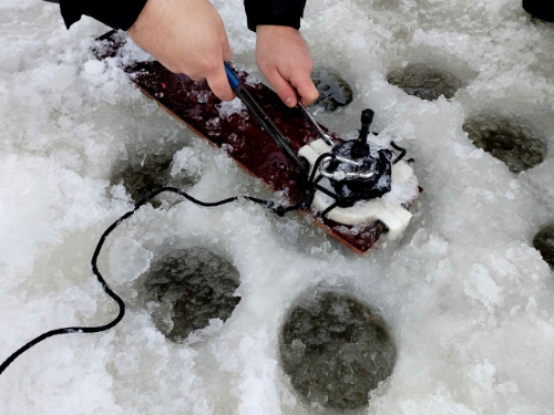
Deploying an Aquadopp profiler for determining current velocity and direction
Estuaries is the contact zone, or the land-sea interface where the material that rivers carry from the catchment towards the ocean is accumulated. In the 1990s, Academician Alexander Lisitsyn termed them marginal filters, which collect over 90% of all the suspended matter arriving from land.
– We believe that estuaries are a kind of proxies for what is happening both in the catchment and in the sea. For this purpose, we take water samples for various chemical and biological parameters, – explained Aleksey Tolstikov.
In 2022–2023 the scientists carried out surveys in the Kem River estuary within an RSF grant. As a result, oil pollution was detected. The project outputs were used to create an actionable numerical model of the White Sea ice. It can be used for navigation in the White Sea in winter, when designing and building structures exposed to sea ice impact. The model also permits estimating ice rafting, the balance of substances within the ice field or between seas, which is important for mariculture arrangements.
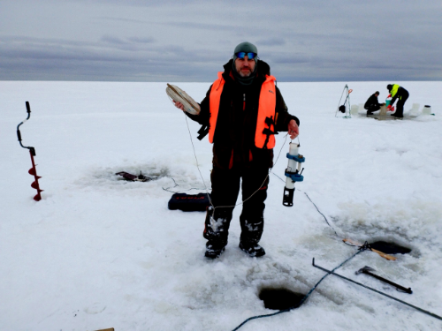
Roman Zdorovennov, Senior Researcher, Northern Water Problems Institute KarRC RAS
The new study area, the Nizhny Vyg estuary has a few things in common with the previous location - it's not far, similar in shape, there is also a port, but on the other hand, there is a fundamental difference. Nizhny Vyg is a component of the White Sea-Baltic waterway, it's shallower, Sorokskaya Bay is much wider than Kemskaya Bay.
– We have not yet analyzed this year's data, but last year's measurements show that the Nizhny Vyg estuary contains about three times the maximum permissible concentrations of oil products for fishery water bodies. This level of water pollution can be attributed to the existing ship traffic. The results of the study will help assess how the environmental situation will change if the use of the White Sea-Baltic Canal is intensified, – remarked Aleksey Tolstikov.
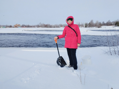
Olga Netsvetaeva, Head of Laboratory for Geochemical Studies, Northwestern Branch of the Institute of Oceanology RAS
Traditionally, colleagues from scientific organizations of other regions take part in the winter White Sea expeditions of Karelian scientists. This year, the hydrologists were joined by Olga Netsvetaeva, Head of Laboratory for Geochemical Studies, Northwestern Branch of the Institute of Oceanology RAS (Arkhangelsk). Her mission was to study snow: scientists from Arkhangelsk explore the transport of various substances in large cities on the White Sea coasts. This work is done within the research project under the RSF grant “Air-borne transport as a source of ecosystem pollution in the western sector of the Russian Arctic” (No 22-77-10074).
The expedition was held within the framework of the state-ordered research theme “Integrated studies of the White Sea and its catchment area for the development of the Russian Arctic zone” which ends this year. Scientists intend to continue studying the White Sea estuarine areas within the new theme included in the research plan.
Photos: A.V. Tolstikov / NWPI KarRC RAS


